Geographic Information System (GIS) Mapping
GIS technology is being used around the world to make maps that visualize datasets, reveal key insights, distill information, and solve complex problems. Integrating many different kinds of data - such as imagery, features, spreadsheets and tables - GIS maps provide users with spatial analysis that can encourage new perspectives and insights into decision-making. The maps can be easily shared and made accessible to virtually anyone with an internet connection.
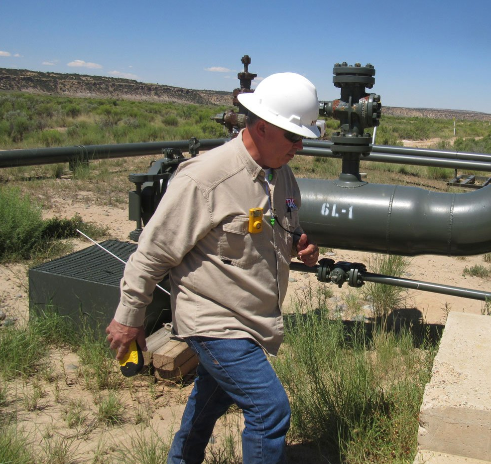
With our extensive and successful background in GPS data collection and GIS mapping, the TASC team knows and appreciates the importance of high-quality mapping. Our dedicated GIS staff has received several peer awards and recognition for their work at both the national and state level.
Oil and Gas GIS Services
With more than 50 years of combined experience with GIS technology, TASC offers a comprehensive range of mapping services including:
- Parcel creation and parcel maintenance
- GPS data collection
- GIS property lines mapping
- Web based mapping
- Oil and Gas mapping
- 911 Addressing
- Soil Coding
- Land Use/Land Cover
- Public Works facility mapping (Regulatory Street Signs, Waste Water, Storm Water, etc.)
A GIS system - which stands for Geographic Information System - is a framework used in many applications for gathering, managing and analyzing data. Rooted in geography, GIS integrates spatial locations and organizes various layers of data into maps and 3D visualizations. The spatial analysis then enables decision-makers to evaluate, estimate, predict, interpret and better understand whatever systems or relationships they're curious about. Organizations spanning virtually every sector are utilizing GIS to create maps that reveal deep insights about data (like patterns, situations and relationships) - and ultimately make more informed decisions.
A quality GIS system should enable users to identify problem areas, monitor changes, forecast changes, manage and react to certain events, set priorities, and reveal trends. Used to illuminate issues and relationships that are driven by geographic location, GIS technology has proven invaluable in helping us understand complicated problems, such as how diseases spread. Combining the science of geography with the latest analytic technology, it helps people gain actionable insights from big data. GIS property lines data, for example, are used every day by governments, realtors and average citizens.
GPS Listing Service
At TASC, we specialize in providing each of our clients with a unique GIS mapping system that incorporates intuitive, eye-catching maps to draw attention and convey patterns. From website thumbnails to wall-sized posters, we can help you visualize data to better explain, inform, organize, or persuade. Leveraging the power and functionality of our full suite of GIS software, our team will design and implement the best GIS mapping system for your needs. We've served clients from a wide range of industries, including forestry, mining, oil and gas, agriculture, construction and local governments, and are confident that you can count on us to get the job done right.
Our mapping services encompass every aspect of GIS utilization: from parcel creation and parcel maintenance to GPS data collection and 911 addressing. We utilize state-of-the-art web based mapping technologies and personalized project management to deliver high-quality maps and forge lasting relationships. Thinking about a 911 addressing or oil and gas mapping project? Unsure where to begin? Give us a call or email to get in touch. Our team of GIS experts is happy to answer any questions or concerns you may have, help with brainstorming, provide sample work, or meet in person to discuss your goals and see how we can help.